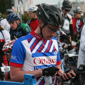
At the Tour de Victoria
This is Rob Skelly’s progress log for CSC497, a combined Geography and Computer Science directed studies at the University of Victoria.
Tentatively, this project will attempt to use the Victoria School-Based Weather Station Network, originated by Andrew Weaver and Ed Wiebe, along with high-resolution terrain data (and whatever other pertinent information can be found) to improve the estimate of power output of cyclists in Victoria based on GPS tracks. The final product will be a Web service that can both consume raw GPS output (in the form of GPX files), and interface with existing ride-mapping services such as Strava.
If time and resources allow, this service will be compared to the power estimates produced by Strava and verified empirically using a power meter.